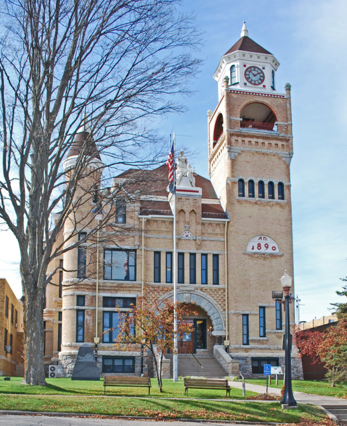
Iron County was organized in 1885 from territory taken from Marquette and Menominee counties. In 1890, the county’s population was 4,432 – the current population is 11,817. It was named for the valuable iron ore found within its borders.
Iron County is the fourth largest county in the state (by area – 1,211 square miles). Prime sectors of the economy are tourism, forestry, healthcare and manufacturing
Beechwood

Population and Housing
Population: 11,817
Total housing units: 9,256
Households: 5,392
Owner occupied housing: 83.7% (national average 63.9%)
Median age: 53.3
Median household income: $33,663
Median household value: $74,400
Labor force: 5,124
Educational Attainment (high school graduate or higher): 91.2%
Unemployment rate: 6.1%
Mean travel-time to work: 21 minutes
Two K-12 school districts: West Iron District (located in Iron River) and the Forest Park District (located in Crystal Falls), severing over 1,200 students.
Two community colleges service Iron County residents – Gogebic Community College in Ironwood (to the west) and Bay de Noc Community College in Iron Mountain (to the east).
Companies in County: 1,060
Major Iron County employers (100+ employees):
Angeli Foods, Aramark, Aspirus Iron River Hospital, Connor-AGA Sports Flooring, the Iron County Medical Care Facility, Krist Oil Company, Lake Shore Systems, Inc., Ski Brule
Local: AT&T
Cellular: AT&T, Verizon
Internet: AT&T, Everstream, Fast-Air Internet, Iron River Co-op, MTC/Jamadots, Packerland Broadband, Peninsular Fiber, UP.net, UPlogon.com
Electricity: City of Crystal Falls, Upper Peninsula Power Company, We Energies
Natural Gas: DTE Energy
Propane: Krist Oil, Marlow Gas
Water: municipal and private wells
50 East Genesee Street, Iron River, MI 49935
Hours: Monday–Tuesday–Thursday–Friday: 10:00AM–2:00PM

Address:
50 East Genesee Street
Iron River, MI 49935
Visitor Center Hours
Monday-Friday
10AM – 3PM
The Iron County Economic Chamber Alliance (The Alliance) serves the communities of Iron County with professional Chamber of Commerce and Economic Development Services.
Copyright 2004-2023